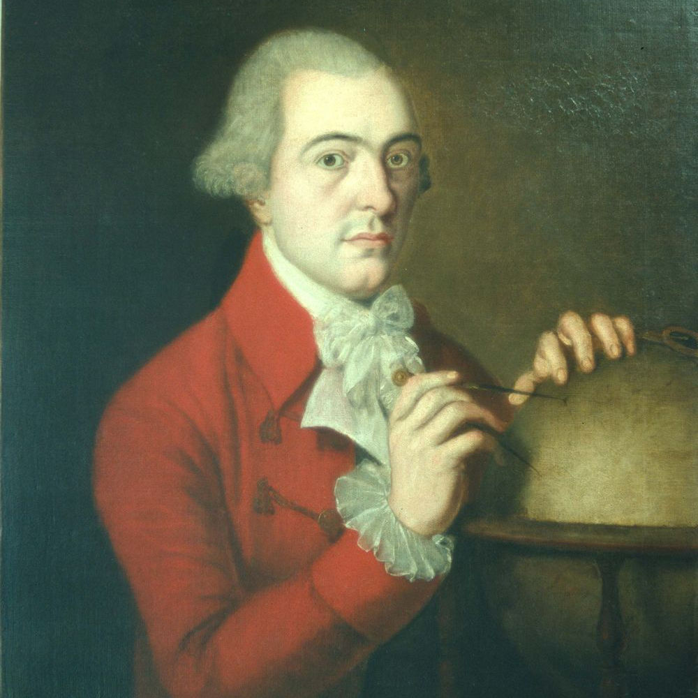
James Robertson - The Shetlander who mapped Jamaica
Sunday, September 27th 2015 - Sunday, November 22nd 2015
Shetland Museum and Archives are pleased to unveil an exhibition about an amazing man from Yell. In a joint project with the National Library of Scotland, and supported by Museums Galleries Scotland, Shetland Museum and Archives staff will explore the life and work of James Robertson, a Shetlander who made the first detailed map of Jamaica. The exhibition will open in Da Gadderie on Saturday 26th September and run to Sunday 22nd November.
Robertson came from Gossabrough in Yell and went to the Caribbean to make his fortune. He was an expert in land surveying and the maps he produced of Jamaica in 1804 were remarkably accurate, even by modern standards. The maps, which have never been displayed in Shetland, are being loaned by the National Library and will form the centre-piece of the exhibition. Visitors to the Gadderie show will also be able to see documents relating to Robertson’s eventful life, maps he produced of north-east Scotland, and have a look at the kind of surveying equipment he would have used.
Items for the exhibition are being loaned from the National Library of Scotland, Aberdeen City and Aberdeenshire Archives, the Royal Scottish Geographical Society and Aberdeen University, Special Collections.
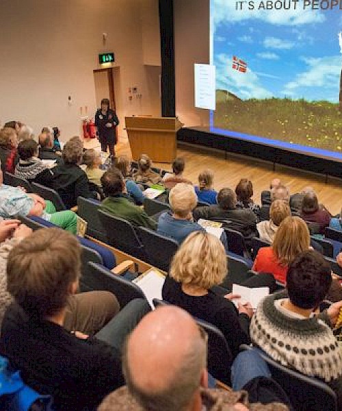
An assortment of events will accompany the exhibition, ensuring there are activities for all ages, starting with two lectures in the week the exhibition opens.
Joanne Wishart, Assistant Archivist, has been researching Robertson's life using sources in the UK and Jamaica. Her talk, ‘James Robertson: craftsman or conman?’ on Friday 25th September at 7.30pm, will give an overview of his life touching on his Shetland background, his work in the Caribbean and ultimate return to Britain.
Chris Fleet, Senior Map Curator, National Library of Scotland, will examine the various marine charts of Shetland over time, in particular looking at those who made them, why, and how successful they were. His talk “Shapes of Shetland - four centuries of hydrographic charts and their makers” is on at 2.00pm on Saturday 26th September.
Chris said: "We are delighted to be contributing to this exhibition, to properly commemorate Shetland's most important map-maker, James Robertson, and allow the fascinating story behind his stunning maps of Jamaica and north-east Scotland to be told. Robertson's maps are not only the most detailed maps of Jamaica and north-east Scotland in the early 19th century, but they also offer powerful insights into the political and social environment in these places too.
"Many of the details of Robertson's life have only been properly pieced together as a result of recent research, and to illustrate this, the exhibition brings together a diverse range of material, most of which has never been displayed before in public."
Local primary school pupils will have the opportunity to learn more about map making by taking part in workshops developed and delivered by the National Library of Scotland. The learning team at the Museum will also be offering schools the opportunity to visit the exhibition for a guided tour with a range of fun, educational activities.
During the October holidays local artist Diane Garrick will be delivering two family workshops based on map making. Diane has a wealth of experience in this field, having previously undertaken a residency with the National Library.
Art classes and reminiscence sessions will also be included in the events programme in conjunction with Alzheimer’s Scotland. Details will be published on the Shetland Museum and Archives website and Facebook page.
John Hunter, Exhibitions Officer for Shetland Museum and Archives said “We are very grateful to Museums Galleries Scotland for the grant funding they have provided to assist with this project; and also to the National Library of Scotland for loaning the items, and their valuable staff involvement with the exhibition and associated events.